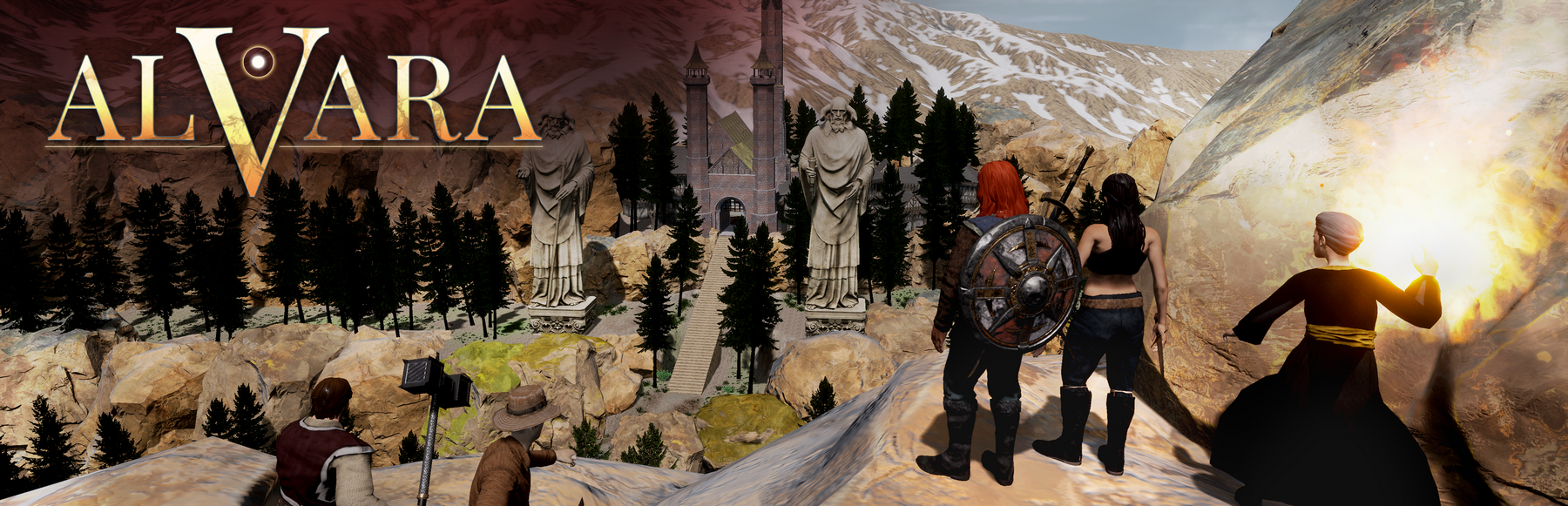
Alvara
A Bit of Geography... 🌍
Alvara is a world made up of five continents. The one where our adventure takes place is called Occilargia. It stretches 5,000 km long and 3,000 km wide.
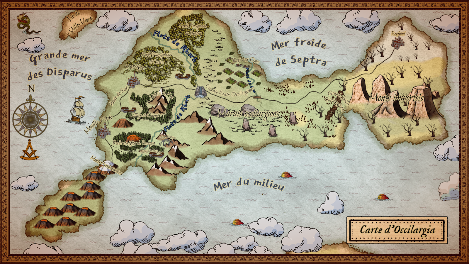
Map of Occilargia
To the south, a vast expanse of red land stretches out. These lands are cursed, no one lives there, and the creatures spawned from them are particularly dangerous.
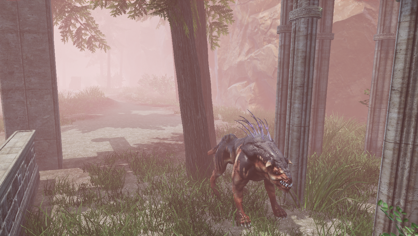
The red mist spawns ever more monstrous abominations.
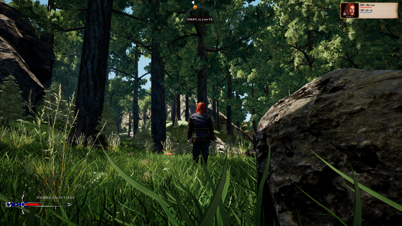
It's not far from this ominous place that our adventure begins. Moreover, the southern lands are mountainous regions, sparsely populated, with lush vegetation primarily composed of mountain trees and pines. 🌲⛰️
The Bazzya region is a mountainous area with numerous forests.
Heading north, vast plains open up, leading to the region of Mouille Pieds, a massive maritime city thriving mainly on trade. This region is ruled by the Princesses of the Tatares Mountains, a family that has reigned for hundreds of years. The governance is matriarchal, with male children being sent to the Priory of the Mountains of Fire to receive a rigorous and harsh Rhetorist education, a measure taken to avoid any conflicts over succession. 🌾🏰
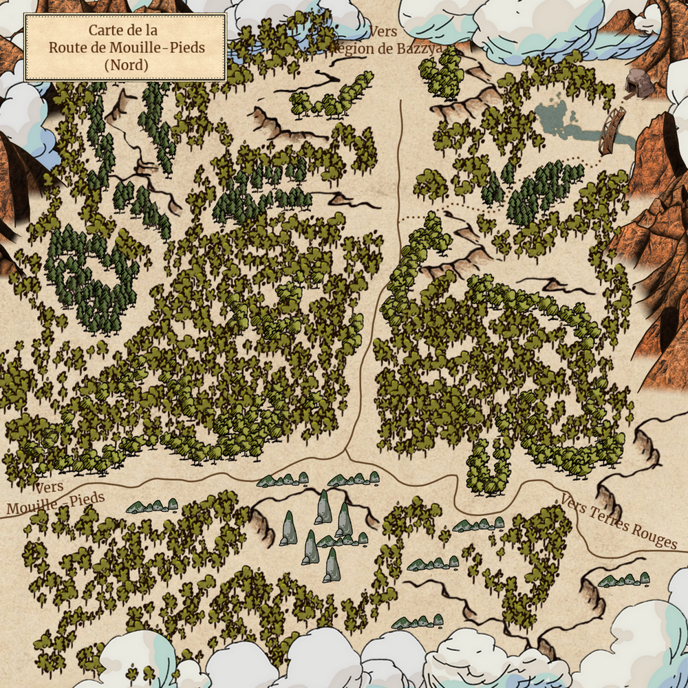
The road to Mouille-Pieds (Wetfeet) will gradually take you out of the Pyrhainésian mountains.
Further north still lies the great city of Parcigia, a strange place that thrives on seasonal trade: markets spring up at very specific times, while for the rest of the year, the city resembles a ghost town. This is likely due to the ruins of the Ancients upon which the city was built, giving it an oddly mysterious aura. 🏙️🕰️
And beyond... The mysterious lands leading to Rocfroid remain largely unexplored, but tales speak of monstrous creatures that would humble even the most hardened explorers, reducing them to mere novices. 🌲❄️👹
Leave a comment
Log in with itch.io to leave a comment.